Our Services
High Quality Geospatial
Services You Needed

CONSULTING ON REGULATIONS AND DEVELOPMENT
With a proven track record of excellence in the industry, Geoprecise Services Limited offers consultancy services to governments and private organizations on spatial data governance.
Read More
SPATIAL DATA VISUALISATION TOOLS
At Geoprecise Services Limited, we harness the power of Augmented Reality (AR) and Virtual Reality (VR) to revolutionize spatial and urban planning.
Read More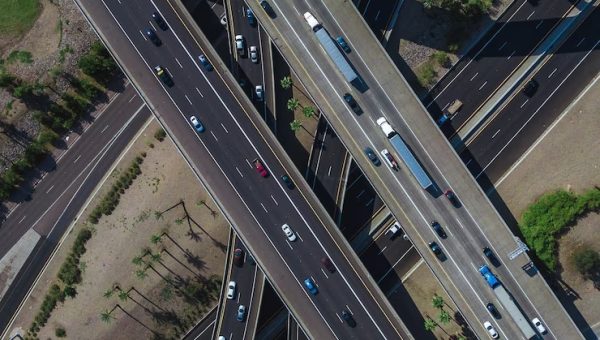
TRANSPORT AND INFRASTRUCTURE PLANNING
Efficient route planning is a cornerstone for enhancing the profitability and operational effectiveness of logistics companies.
Read More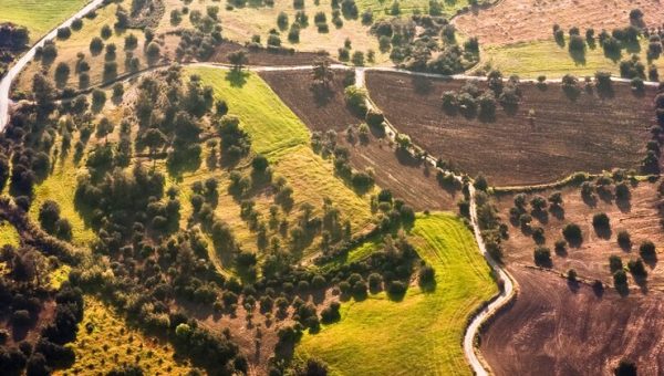
AGRICULTURAL AND ENVIRONMENTAL LAND MANAGEMENT
With the growing demand for food amidst rising challenges of scarcity, precision agriculture has emerged as a critical solution for sustainable food production.
Read More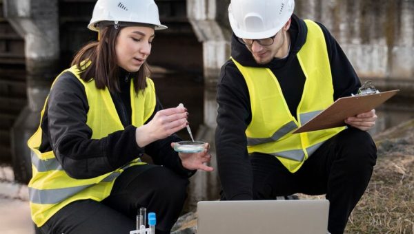
DISASTER MANAGEMENT AND RISK ANALYSIS
Understanding and assessing potential risks from natural hazards such as floods, earthquakes, hurricanes, and wildfires is vital for preparedness and effective protection against their devastating impacts.
Read More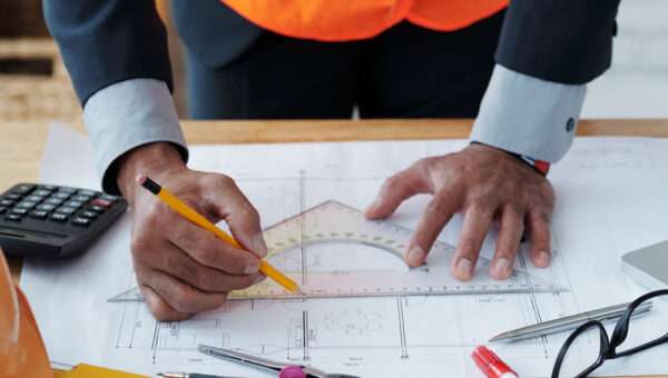
Geodetic Control Surveys
Geoprecise Service Limited is an industry-leading provider of geodetic control surveys to clients in numerous industries.
Read MoreAbout Us
Geoprecise Services Limited
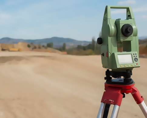
Geoprecise is an award winning firm of registered land surveyors, engineers, and environmental consultants providing nation-wide coverage for projects of all sizes. We specialize in pipelines, gas and oil well locations, unit surveys, construction layouts, topographical boundaries, subdivision design, title and boundary surveys, geodetic control surveys, digitizing, map reproduction and preparation, wetlands delineation, HDS laser scanning and dedicated online maps and 3D scanning services. As an environmental consulting firm, we also are experts in navigating through environmental regulations from pre-planning to completion with ease.
520
Why Choose us
We are Professional Land Surveyors
We have strong analytical and problem-solving skills, as well as a solid understanding of geometry and trigonometry. We also read and interpret maps, legal documents, and other relevant materials.
Client Satisfaction
Our Vision & Mission
Project Planning
General Contraction
857
380
955
467
I like more and more each day because it makes my life a lots of easier. They are the best and expertly trained team members who take the extra step and go the expert dynamic solutions to our customers fit changing global environment.

Smith
– kyber – CEOI like more and more each day because it makes my life a lots of easier. They are the best and expertly trained team members who take the extra step and go the expert dynamic solutions to our customers fit changing global environment.

Jancy
– kyber – ManagerI like more and more each day because it makes my life a lots of easier. They are the best and expertly trained team members who take the extra step and go the expert dynamic solutions to our customers fit changing global environment.

John Deo
– kyber – engineerOur Team
Our Expert Team
Recent Posts
Latest News & Blog
