About Us
About Us
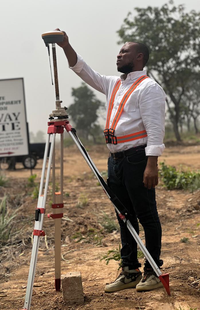
Geoprecise Services Limited
At Geoprecise Services Limited, we provide innovative and data-driven geospatial solutions designed to address the diverse needs of industries, governments, and organizations. As a leader in the geospatial sector, we specialize in high-precision services that empower our clients to make informed decisions, drive efficiency, and achieve sustainable growth.
Our expertise spans a wide range of services, including geospatial data and mapping, smart city planning, real estate analytics, disaster risk management, environmental monitoring, and cutting-edge solutions for transportation and infrastructure development. Whether it’s developing interactive web maps, creating detailed 3D visualizations, or analyzing complex geospatial data, we deliver tailor-made solutions backed by the latest technology.
At Geoprecise, we are committed to excellence, leveraging advanced tools such as AI, machine learning, drones, and real-time data to offer unparalleled insights. We take pride in our ability to provide scalable solutions, from precision agriculture to spatial data integration, that help our clients adapt to today’s challenges while planning for tomorrow’s opportunities.
Explore our services and discover how Geoprecise Services Limited can partner with you to navigate the complexities of the modern world with precision, innovation, and reliability.