
CONSULTING ON REGULATIONS AND DEVELOPMENT
With a proven track record of excellence in the industry, Geoprecise Services Limited offers consultancy services to governments and private organizations on spatial data governance.
Read More
SPATIAL DATA VISUALISATION TOOLS
At Geoprecise Services Limited, we harness the power of Augmented Reality (AR) and Virtual Reality (VR) to revolutionize spatial and urban planning.
Read More
TRANSPORT AND INFRASTRUCTURE PLANNING
Efficient route planning is a cornerstone for enhancing the profitability and operational effectiveness of logistics companies.
Read More
AGRICULTURAL AND ENVIRONMENTAL LAND MANAGEMENT
With the growing demand for food amidst rising challenges of scarcity, precision agriculture has emerged as a critical solution for sustainable food production.
Read More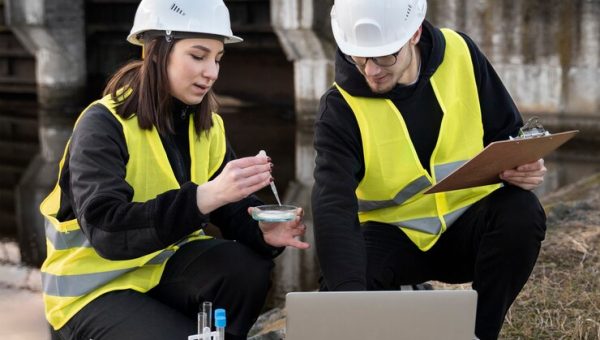
DISASTER MANAGEMENT AND RISK ANALYSIS
Understanding and assessing potential risks from natural hazards such as floods, earthquakes, hurricanes, and wildfires is vital for preparedness and effective protection against their devastating impacts.
Read More
Geodetic Control Surveys
Geoprecise Service Limited is an industry-leading provider of geodetic control surveys to clients in numerous industries.
Read More
REAL ESTATE AND SITE SELECTION ANALYSIS
In the evolving real estate industry, location intelligence plays a pivotal role in site selection, property development, and understanding market trends.
Read More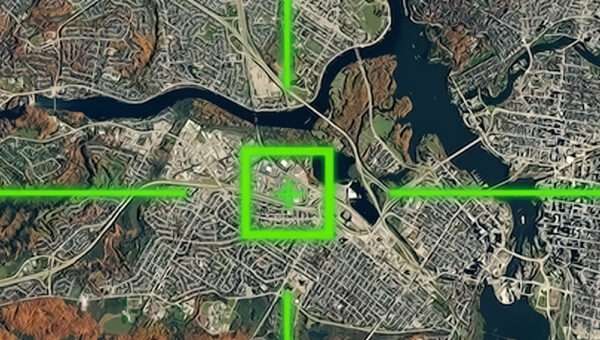
GIS Mapping Services
The comprehensive Geographic Information System (GIS) and Digital Mapping Survey services provided by Geoprecise Service Limited are available to a diverse group of customers in a variety of business sectors.
Read More
REMOTE SENSING & ENVIRONMENTAL MONITORING
At Geoprecise Services Limited, we recognize the critical role that understanding climatic conditions plays in various sectors.
Read More