Land Surveys
1. Cadastral / Property Survey

We provides people, communities, and governmental organizations with thorough property survey services. Our team of knowledgeable experts is committed to giving our clients accurate information that they can rely on when making decisions concerning their properties.
Our property survey services include land surveys, boundary surveys, topographical surveys, building surveys, and site engineering surveys, among other services. The most up-to-date surveying tools and technologies are used by our team to gather thorough information about the property, which is then examined to look for any potential problems or discrepancies.
Our land surveys are completed to determine precise property lines, which can assist in settling disputes between adjacent property owners. We also offer topographical surveys, which entail mapping the natural and built environments.
We conduct building surveys to find any potential problems with a building’s condition or construction. We examine the interior and exterior of the structure, as well as the foundation, walls, roof, and other structural components, and we offer a thorough report outlining any problems or concerns.
We collaborate with communities and governmental organizations in addition to private clients to conduct property surveys for public projects. In order to create a survey plan that satisfies their unique goals and expectations, we work closely with our clients.
At Geoprecise Services Limited, we’re dedicated to giving our clients accurate information they can trust so they can make wise decisions regarding their real estate investments. We take pride in our expertise, focus on the small things, and dedication to providing services of the highest caliber.
Geoprecise Services Limited is the best option if you need a trustworthy surveying company to conduct a property survey. You can be certain that the information you receive about your property is accurate and trustworthy thanks to our team of qualified experts and the most up-to-date surveying tools and technology. To learn more about our property survey services, get in touch with us right away.
2. Engineering Survey

Engineering surveys are crucial for any building or engineering project, as we at Geoprecise Services Limited are keenly aware. To ensure that our clients receive accurate, reliable, and comprehensive data, we uphold the highest standards of professionalism and precision in every survey we conduct. Our dedicated team of expert surveyors is equipped with state-of-the-art tools and cutting-edge technology, enabling us to collect data with unparalleled accuracy and efficiency.
Beyond simply gathering data, we rigorously analyze the results to identify any potential issues, inconsistencies, or areas that may require further attention. Our goal is to provide our clients with clear insights, so they can make well-informed decisions for their projects. Once we complete the analysis, we take the time to thoroughly review the findings with our clients, ensuring that all concerns are addressed, and any questions are answered.
At Geoprecise Services, we approach each engineering survey with a deep understanding of the unique needs and objectives of our clients. We work closely with them to fully grasp their requirements and deliver a tailored solution that fits their specific project goals. Whether it’s for construction, infrastructure development, or land assessment, we ensure that the data we provide serves as a solid foundation for successful project outcomes, all while maintaining a high level of transparency and communication throughout the process.
In addition to our commitment to precision and thorough analysis, we understand that timing is critical in engineering projects. We pride ourselves on delivering our services promptly, without compromising on quality. We recognize that delays can affect the overall timeline of a project, which is why we are dedicated to providing accurate surveys within the specified timeframes. Our team works efficiently to meet deadlines and deliver results that allow projects to move forward smoothly.
Moreover, we place a strong emphasis on sustainability and environmental considerations. As the demand for environmentally conscious construction and development increases, we integrate these values into our surveying processes. Our surveys are designed to identify environmental factors that may impact the success or feasibility of a project, such as soil stability, water flow, and other relevant environmental conditions. By taking these elements into account, we help our clients make informed choices that are not only technically sound but also sustainable in the long run.
At Geoprecise Services, our commitment goes beyond just providing data. We aim to be a trusted partner throughout the entire lifecycle of a project, from initial planning and design through to construction and beyond. Our collaborative approach ensures that our clients always have the support they need to make the best possible decisions and achieve their project objectives with confidence.
3. Aerial Data Collection

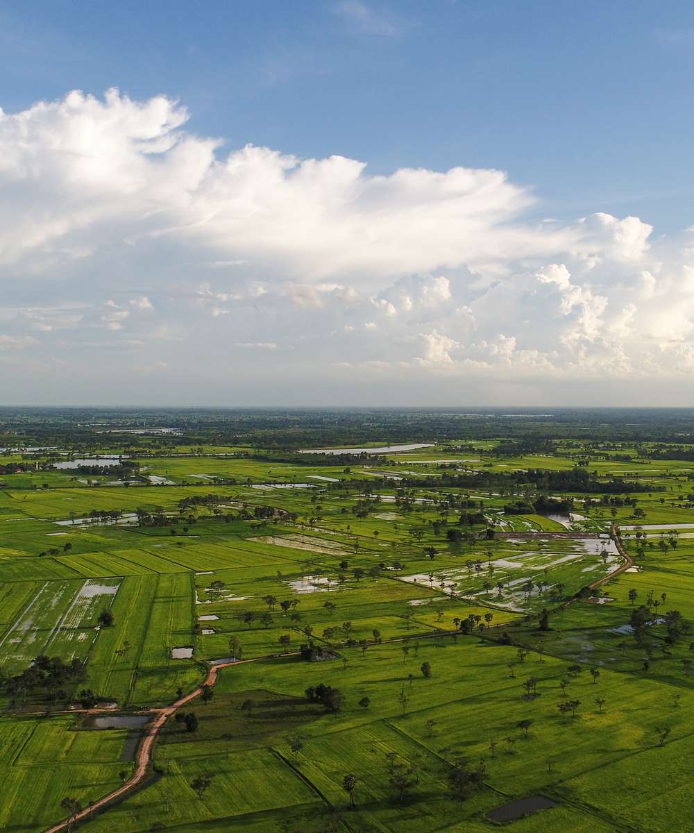
Aerial data collection services are provided to clients in a variety of industries by the reputed surveying company Geoprecise Services Limited. To gather top-notch aerial data for our clients, our team of skilled professionals uses the most recent tools and technologies.
Unmanned aerial vehicles (UAVs) or drones are used as part of our aerial data collecting services to collect data from the air, including photos, videos, and other sorts of data. To gather information on the terrain, structures, infrastructure, and other characteristics, we employ a variety of sensors, including high-resolution cameras, LiDAR, and multispectral sensors.
In addition to topographic mapping, 3D modeling, infrastructure inspections, and environmental monitoring, we provide a wide range of airborne data collection services. In order to plan construction projects, plan for land use, and manage natural resources, topographic mapping services are provided. These services entail the compilation of precise and detailed maps of the area.
The construction of precise digital models of the terrain, buildings, and other structures is a component of our 3D modeling services. These models can be utilized for planning, design, virtual tours, and visualization.
In addition, we provide drone-assisted infrastructure inspections, which look at structures including buildings, bridges, electricity lines, and other infrastructure. Our drones can record high-definition photos and videos, which enables us to see any potential problems or worries.
Finally, our environmental monitoring services include the use of drones to gather information about the environment, including the health of the plants and the purity of the air and water. The environmental effects of human activity can be monitored and lessened using the data provided.
At Geoprecise Services Limited, we’re dedicated to giving our clients access to high-quality aerial data so they can plan their projects wisely. Our team of skilled specialists has the competence and understanding to deliver precise and trustworthy data that satisfies the demands and standards of our clients.
In conclusion, Geoprecise Services Limited is the best option if you’re seeking for a reliable surveying company to handle aerial data collecting. To find out more about our aerial data gathering services and how we can support you in completing your project goals, get in touch with us right now.
4. GIS Mapping Services

The comprehensive Geographic Information System (GIS) and Digital Mapping Survey services provided by Geoprecise Service Limited are available to a diverse group of customers in a variety of business sectors. In order to deliver individualized solutions that are tailored to the precise needs of our customers’ individual projects, the highly trained specialists that make up our team are supported by cutting-edge hardware and software technologies.
Our services for GIS and digital mapping surveys include the following:
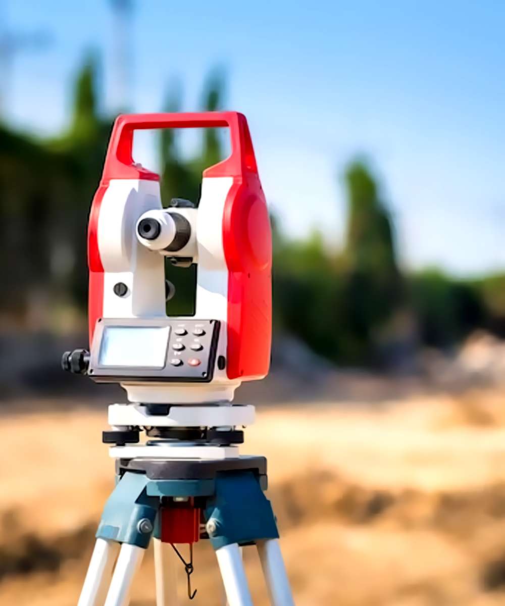
Data Collection: In order to acquire geospatial data that is accurate and precise, we make use of sophisticated surveying equipment such as GPS/GNSS, total stations, and unmanned aerial vehicles (UAVs). Our team guarantees that the data is captured effectively and precisely, hence reducing the number of errors that occur and improving the overall quality of the product.
Processing of the Data: In order to process the data that was obtained during the survey, we make use of modern software tools. The data that was obtained is analyzed and manipulated by our team using the most recent version of the GIS software, including Esri ArcGIS, AutoCAD Map 3D, and QGIS.
Digital Mapping: In order to generate maps of the surveyed areas that are superior in terms of quality, precision, and depth, we make use of several digital mapping techniques. In addition to the development of 2D and 3D maps, contours, and terrain models, the digital mapping services that we offer also include the construction of individualized maps that are catered to the particular requirements of each individual customer.
Data Visualization: In order to assist our customers in better comprehending and analyzing their geospatial data, we make available to them visualization tools that are both interactive and dynamic. The development of dynamic web maps, dashboards, and tools for spatial analysis are all part of the data visualization services we offer.
GIS Consulting: Our team of industry professionals offers GIS consulting services to clients in order to assist them in optimizing both the GIS infrastructure and the workflows associated with it. We offer individualized solutions for geographic information systems (GIS), such as database design, software development, and GIS training.
Our clients come from a wide range of businesses, including government organizations, engineering firms, construction companies, environmental consulting firms, and natural resource management agencies. These clients employ our GIS and Digital Mapping Survey services. Get in touch with us right away to find out more about the GIS and Digital Mapping Survey services that we offer, as well as the ways in which we can assist you with your next project.
GIS Services For:
- Oil & Gas Production
- Oil & Gas Pipelines
- Alternative Energy
- Public Works
- Environmenta
5. Geodetic Control Surveys

Geoprecise Service Limited is an industry-leading provider of geodetic control surveys to clients in numerous industries. Important for mapping and construction projects, geodetic control surveys establish precise coordinates and elevation data for a specific area. Our team of seasoned and highly skilled professionals utilizes cutting-edge equipment and methods to provide clients with accurate and trustworthy geodetic control survey data.
Our geodetic control survey services include establishing horizontal and vertical control networks, monitoring deformation, and adjusting geodetic networks. We collaborate closely with clients to comprehend their unique project requirements and deliver solutions that are tailored to their needs. Our geodetic control survey data is provided in a variety of formats, such as digital terrain models (DTMs), digital elevation models (DEMs), and point cloud data.
Geoprecise Service Limited recognizes the significance of precision and accuracy in geodetic control surveys. Our team employs cutting-edge technology, such as GPS, total stations, and sophisticated software, to ensure that our survey data is as reliable and accurate as feasible. We are committed to delivering results that meet the highest industry standards in a variety of challenging environments, such as remote locations, urban areas, and industrial sites.
In addition to engineering design, cartography, construction, and mining, our geodetic control survey services are utilized in a variety of other fields. We have worked with clients from diverse industries, such as government agencies, construction companies, and engineering firms. Our team is dedicated to providing superior customer service, and we endeavor to establish long-term partnerships with our clients based on their trust, dependability, and professionalism.
In conclusion, Geoprecise Service Limited is a reputable provider of geodetic control surveys, delivering precise and trustworthy data to customers in a variety of industries. Our team of seasoned professionals employs cutting-edge equipment and methods to deliver customized solutions that meet the specific project requirements of each client. Contact us immediately to learn more about our geodetic control survey services and how we can assist with your upcoming project.
