Service Tag: Business

Cadastral / Property Survey

We provides people, communities, and governmental organizations with thorough property survey services. Our team of knowledgeable experts is committed to giving our clients accurate information that they can rely on when making decisions concerning their properties.


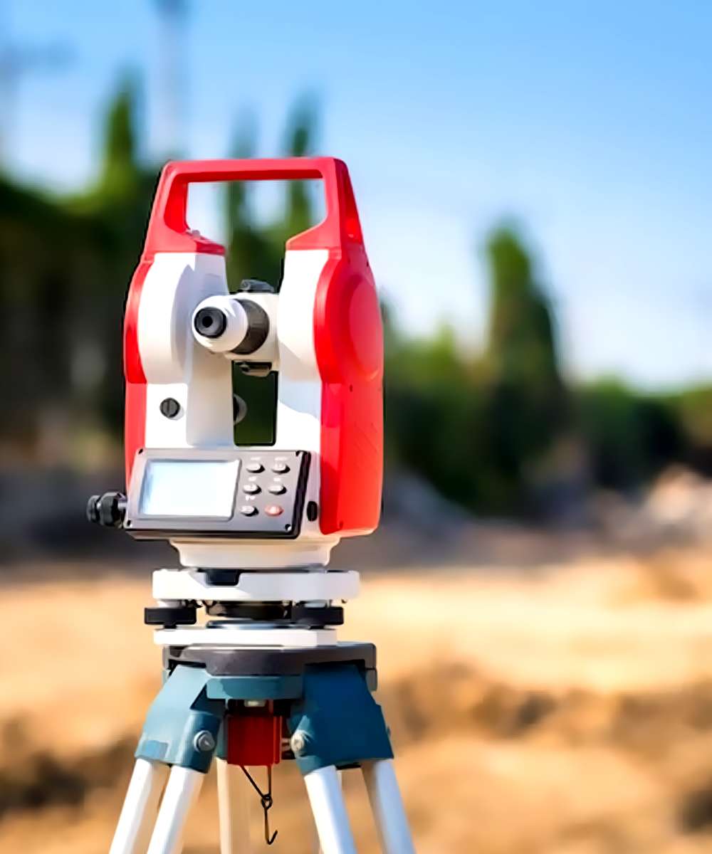
Our property survey services include land surveys, boundary surveys, topographical surveys, building surveys, and site engineering surveys, among other services. The most up-to-date surveying tools and technologies are used by our team to gather thorough information about the property, which is then examined to look for any potential problems or discrepancies.

Our land surveys are completed to determine precise property lines, which can assist in settling disputes between adjacent property owners. We also offer topographical surveys, which entail mapping the natural and built environments.

We conduct building surveys to find any potential problems with a building’s condition or construction. We examine the interior and exterior of the structure, as well as the foundation, walls, roof, and other structural components, and we offer a thorough report outlining any problems or concerns.


We collaborate with communities and governmental organizations in addition to private clients to conduct property surveys for public projects. In order to create a survey plan that satisfies their unique goals and expectations, we work closely with our clients.

At Geoprecise Services Limited, we’re dedicated to giving our clients accurate information they can trust so they can make wise decisions regarding their real estate investments. We take pride in our expertise, focus on the small things, and dedication to providing services of the highest caliber.

Geoprecise Services Limited is the best option if you need a trustworthy surveying company to conduct a property survey. You can be certain that the information you receive about your property is accurate and trustworthy thanks to our team of qualified experts and the most up-to-date surveying tools and technology. To learn more about our property survey services, get in touch with us right away.

img-02

Engineering Survey

Engineering surveys are crucial for any building or engineering project, as we at Geoprecise Services Limited are aware. In order to give our clients accurate and trustworthy data, we make sure that our surveying procedures are carried out with the utmost professionalism and accuracy. Our team of surveyors is outfitted with the most up-to-date tools and technology, which allows us to accurately and thoroughly collect data. In order to find any potential problems or contradictions, we also thoroughly analyze the survey results, which we then discuss with our clients. We approach engineering surveys by carefully analyzing the needs and demands of our clients. We carefully consider the demands of our clients and collaborate with them to provide a customized solution.
img-02

Aerial Data Collection

Aerial data collection services are provided to clients in a variety of industries by the reputed surveying company Geoprecise Services Limited. To gather top-notch aerial data for our clients, our team of skilled professionals uses the most recent tools and technologies.

Unmanned aerial vehicles (UAVs) or drones are used as part of our aerial data collecting services to collect data from the air, including photos, videos, and other sorts of data. To gather information on the terrain, structures, infrastructure, and other characteristics, we employ a variety of sensors, including high-resolution cameras, LiDAR, and multispectral sensors.

In addition to topographic mapping, 3D modeling, infrastructure inspections, and environmental monitoring, we provide a wide range of airborne data collection services. In order to plan construction projects, plan for land use, and manage natural resources, topographic mapping services are provided. These services entail the compilation of precise and detailed maps of the area.

The construction of precise digital models of the terrain, buildings, and other structures is a component of our 3D modeling services. These models can be utilized for planning, design, virtual tours, and visualization.

In addition, we provide drone-assisted infrastructure inspections, which look at structures including buildings, bridges, electricity lines, and other infrastructure. Our drones can record high-definition photos and videos, which enables us to see any potential problems or worries.

Finally, our environmental monitoring services include the use of drones to gather information about the environment, including the health of the plants and the purity of the air and water. The environmental effects of human activity can be monitored and lessened using the data provided.

At Geoprecise Services Limited, we’re dedicated to giving our clients access to high-quality aerial data so they can plan their projects wisely. Our team of skilled specialists has the competence and understanding to deliver precise and trustworthy data that satisfies the demands and standards of our clients.

In conclusion, Geoprecise Services Limited is the best option if you’re seeking for a reliable surveying company to handle aerial data collecting. To find out more about our aerial data gathering services and how we can support you in completing your project goals, get in touch with us right now.

img-02